Expansive River Basin Modeling Project Nears Completion
Imagine this: a severe drought hits Nebraska, causing rivers and streams to slow to a trickle. Lakes are so low that fish are flopping in the mud. Groundwater levels dip as well as the aquifer continues to be drawn down, with little precipitation to refill it. There’s one question on everyone’s mind as the drought drags on--will there be enough water to meet the needs of domestic users, irrigators, and industry if everyone continues to use water at the same level as before?
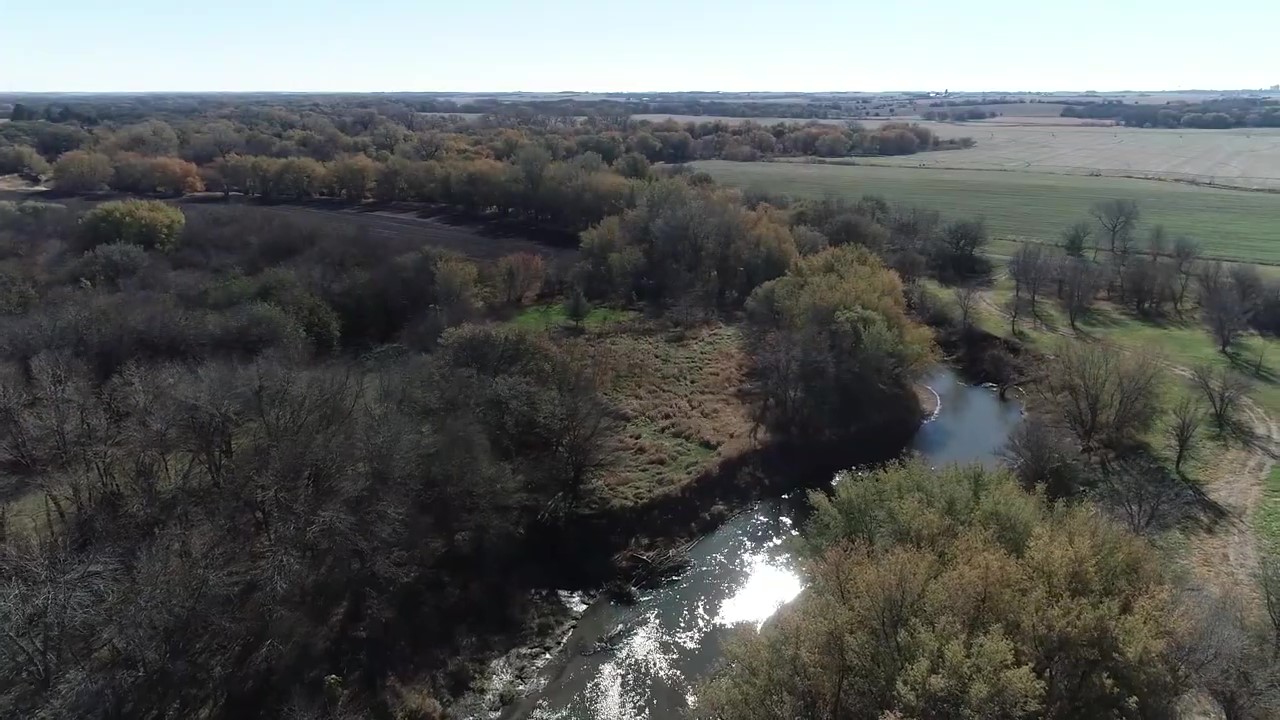
While this worst-case scenario sounds like an exercise in pessimism, it is a very real problem faced in the western United States. Given the right circumstances, could it happen here? To safeguard the water supply for all users and prevent future shortages, the Upper Big Blue Natural Resources District has partnered with the Nebraska Department of Natural Resources and three other NRDs in the Blue River Basin in an ambitious project. Since 2017, the group has been working with an engineering firm to conduct a comprehensive survey of the Blue River and tributaries to identify the extent to which they are hydrologically connected—where groundwater and surface water interact. The balance between surface water and groundwater is a vital data point to understanding the water system in the district.
By collecting information about stream flow, groundwater recharge, land use in the basin, drought patterns, and average rainfall and water use, engineers are creating a computer model that allows users to run scenarios to test different variables. For example, what would the impact to groundwater recharge be if land use changed from irrigated farmland to dryland or livestock production? What would the impact be on stream flow if a new industry entered the district and increased demand on water? How long would surface water and groundwater supplies last at typical levels of use if the rainfall decreased by 75 percent in a given period? These variables can be run through the model to determine likely outcomes for geographic and time-based scenarios.
The monitoring and data collection was completed in 2020. Now the model is being refined and calibrated to produce the most accurate results and is expected to start providing useful data in early 2022. Once completed, the model will provide a sophisticated tool for forecasting future possibilities that can assist boards of directors at the Upper Big Blue, Tri-Basin, Lower Blue, and Little Big Blue NRDs as they set policy to ensure reliable water use for all.
“Keeping the agricultural economy of the Blue River Basin strong requires the best science to inform policy for water use,” said Marie Krausnick, water department manager for the Upper Big Blue NRD.
Modeling in the Upper Big Blue Natural Resources District started in 2005 with an effort to produce a similar tool for the Platte River. At that time, the Nebraska Department of Natural Resources was looking for data about whether the Platte River basin (surface and ground water) was fully appropriated (meaning the balance of water use and water demand indicates that increased planning is needed) or over-appropriated. Part of the district between Phillips and the Platte River was deemed fully appropriated at that time based on the results of the modeling project.
“At that point, the district saw the value in groundwater modeling,” said Krausnick. When that study was complete, the focus shifted from the Platte River hydrologic interconnection to the Blue River. The current model being created relies on updated data and methodologies, reflecting the best available science, providing a more robust model.
Once the areas of hydrologic connection are identified, the information will become part of the district’s Voluntary Integrated Management Plan. Having this plan in place would allow the NRD to apply for additional funding through the Water Sustainability Fund to make improvements in the district to reduce the threat to the water supply.
“Our goal is to keep groundwater levels stable,” said Krausnick. “The modeling project is an important tool to help us do that.”