Pioneer Trails - Sediment Removal to Improve Fishery
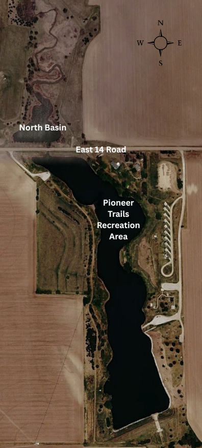 In an effort to improve the fishery at Pioneer Trails Recreation Area, the Upper Big Blue Natural Resources District (District) is planning to have sediment removed from the north basin of Pioneer Trails.
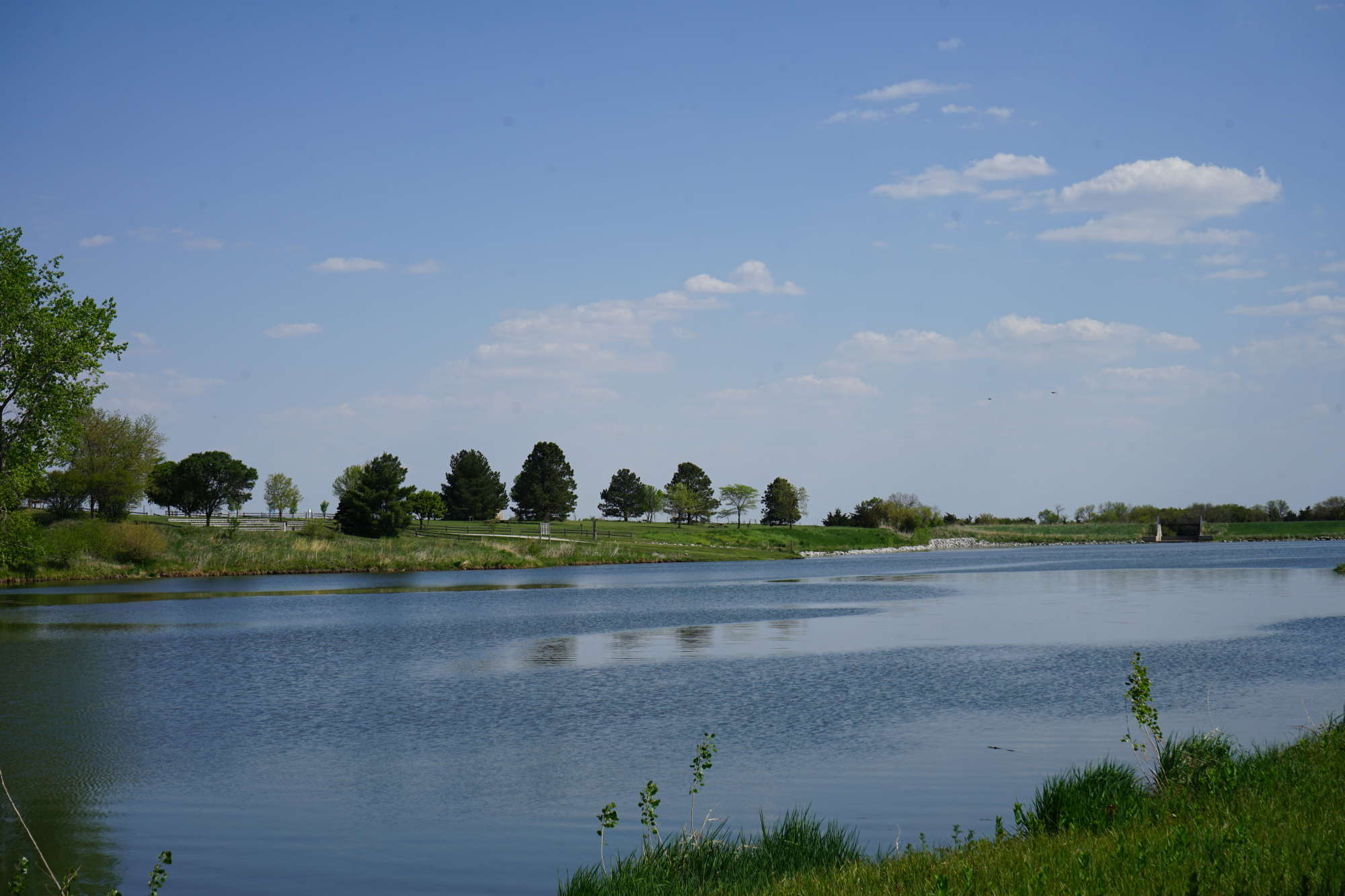
The District owns and operates Pioneer Trails Recreation Area, located approximately one mile north and one and a half miles east of Aurora. Past improvements at Pioneer Trails include sealing the lake bottom and developing numerous park amenities such as a boat ramp, restrooms, RV camping pads, a tent camping area, picnic shelters, an amphitheater, improved bank access, and a hiking trail.
Pioneer Trails is a popular fishery where anglers can catch largemouth bass, bluegill, crappie, saugeye, and channel catfish. The fishery is cooperatively managed by the Nebraska Game and Parks Commission (Commission) and the District.
According to the Commission’s March 2023 Pioneer Trails Fisheries Management Plan, a majority of the watershed consists of intensive row crop agriculture. Fortunately, most of the slopes in the watershed are gradual, which helps reduce sedimentation. East 14 Road functions in part as a sedimentation dike, allowing sediment to settle out in the basin north of the road. The road and bridge help prevent sediment from passing into the main reservoir. While not completely effective, this has reduced sediment and nutrient loading into the main reservoir. Suspended sediments from runoff lowers water transparency, limiting submerged aquatic vegetation growth.
A sediment survey conducted in the summer of 2025 showed approximately one foot of sediment has accumulated in the 2.3-acre basin north of the East 14 Road bridge (approximately 2,500 cubic yards). Removing this sediment will help prevent additional material from entering the main reservoir and will restore capacity in the north basin for future sediment accumulation. Sediment levels in the north basin will continue to be monitored in future years.
Dredging is a process used to remove sediment buildup from the bottom of ponds and lakes. A dredge uses suction to pump sediment into a holding basin. This process removes nutrient-rich material that leads to algal blooms and reduced water depths. After the dredged material dries out, it will be removed, and the holding basin will be restored to its original footprint.
Construction of the holding basin is set to begin in early March, with the dredging activities planned to begin in April. For additional information, please contact the Upper Big Blue Natural Resources District at 402-362-6601.