Wetlands Provide Groundwater Recharge as Well as Wildlife Benefit
By Brody Vorderstrasse, Rainwater Basin Joint Venture
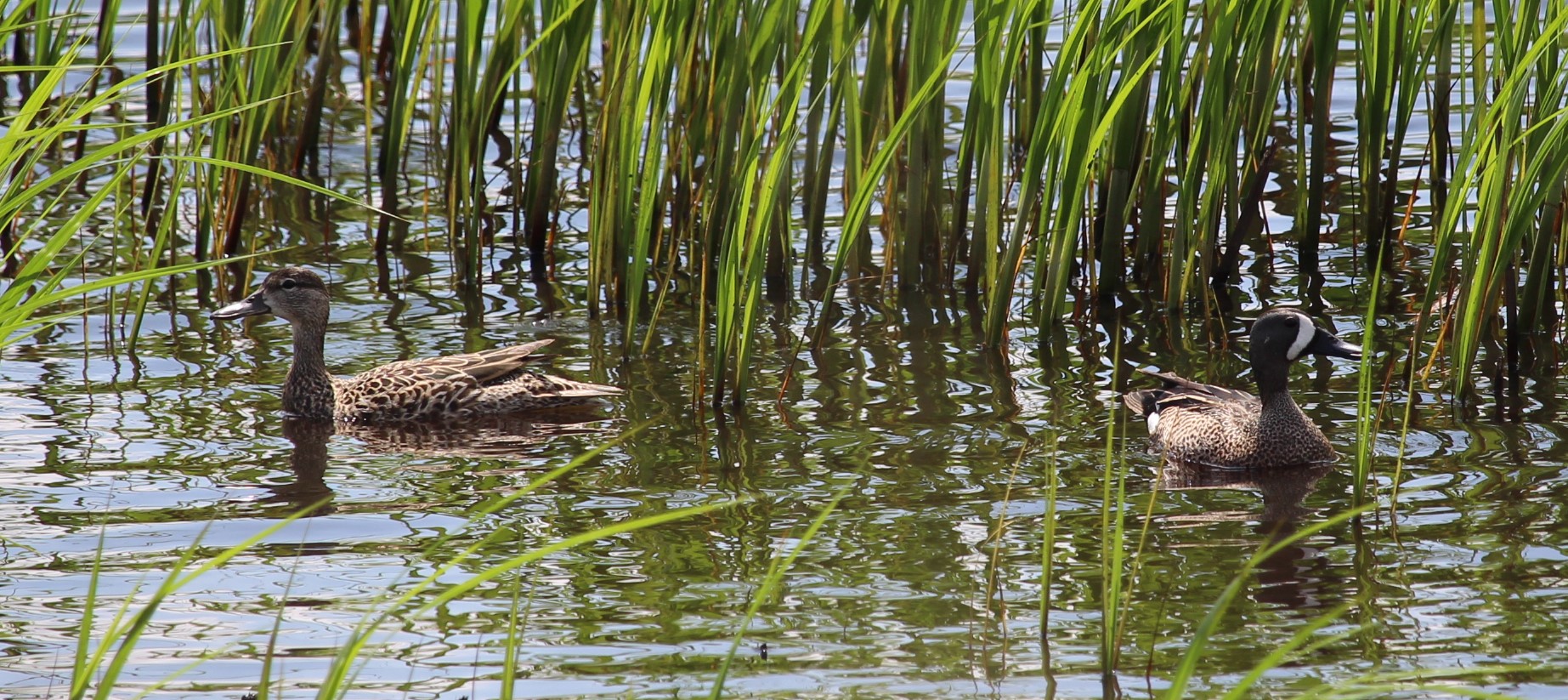
The Rainwater Basin Region lies south of the Platte River and North of the Republican River from Gosper to Seward County. Historically over 11,000 playa wetlands were scattered across this region covering 200,000 acres. These wetlands continue to provide important habitat for millions of waterfowl including 50 percent of the midcontinent population of mallards and 30 percent of the continental population of northern pintails. As a result of the fertile soils and abundant groundwater, over 90 percent of these wetlands have been drained through direct activities like excavation of concentration pits, construction of surface drains, placement of upland fill in the wetland, or inadvertently through erosion from the adjacent cropland fields.
When wetlands are drained, the loss of function does not just impact habitat for migratory birds and resident wildlife, it also impacts groundwater recharge capacity of these features.
Playa wetlands are depressions with heavy clay soil lining the bottom. These soils crack when wetlands dry, forming large fissures that can be several inches across and penetrate deep into the parental soils. These cracks or macropores provide significant recharge to the underlying aquifer when runoff enters the wetland.
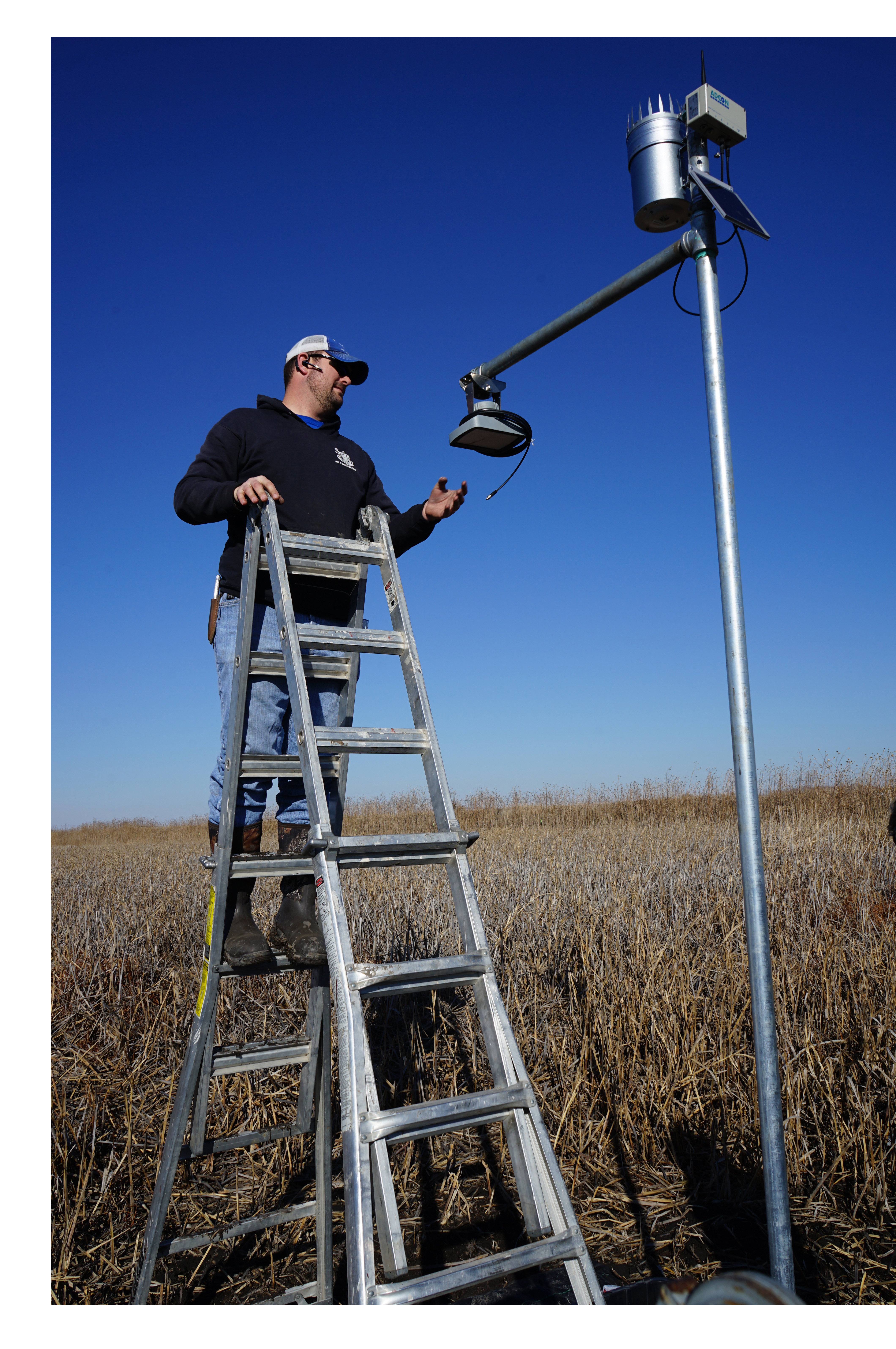
Recent modeling by Tri-Basin NRD quantified the amount of recharge playa wetlands provide. This monitoring was completed using a water budget model. This model accounts for infiltration in the watershed, evaporation, transpiration, and groundwater recharge. A complimentary groundwater monitoring network was installed to verify the modeled results. This study suggested that one acre of playa wetland could recharge approximately 1.14 million gallons of water if ponded 10 percent of the year (36 days). Measurements from the groundwater monitoring network supported these findings with the water table increasing 5-feet during the observation period. To put these results into perspective, this equates to roughly enough water to irrigate 3.5 acres of cropland with 6 inches.
A similar study is underway at a restored wetland in Hamilton County that is managed by the Upper Big Blue Natural Resources District. The recharge at Teal View Wetland Education Area will be monitored through this winter and into 2023 to note the rate of recharge as well as the water quality impacts of the filtration provided by the wetland.
The Rainwater Basin Joint Venture is a public private partnership that works with NRDs and other conservation partners to restore and enhance playa wetlands. Over the last three years, the partnership has restored 1,025 acres of playa wetlands through the Wetlands Reserve Enhancement Partnership administered by the Natural Resources Conservation Service. This program provides flexibility to allow producers to pass their pivot irrigation systems over the restored acres and 85 percent cost-share to establish grazing infrastructure to provide an economically viable management option. Even during droughts like the one we are currently experiencing, these wetlands will still pond water and recharge as a result of intense thunderstorms. It is estimated that the 1,025 acres of restored wetlands recharged sufficient groundwater for 56 pivots to irrigate 6 inches.